Smart India Hackathon
Summary
A national-scale AI + geospatial monitoring system built for the Smart India Hackathon. Our team designed and shipped a production-ready prototype that detects and classifies unauthorized urban construction from satellite imagery, enabling municipal authorities to act before structures become permanent.
Context
The Smart India Hackathon is India's largest national hackathon, organized by the Ministry of Education and AICTE. The problem statement we tackled came from a government municipal body: unauthorized construction was going undetected for months, resulting in revenue loss, safety hazards, and urban planning failures. Existing manual inspection methods were slow, reactive, and did not scale.
Challenge
Build an automated system that can analyze high-resolution satellite imagery, detect new construction activity, classify it by type and severity, and present actionable alerts to municipal officers — all within the hackathon timeframe. The solution had to work with real satellite data, handle varying resolutions, and produce zero-false-positive alerts that officials could trust.
My Role
AI Systems Engineer and technical lead. I designed the end-to-end ML pipeline, from data ingestion and preprocessing to model training, validation, and deployment. Built the backend APIs, inference infrastructure, and the officer-facing dashboard. Coordinated the team of 4 across ML, backend, and frontend workstreams.
Solution / System
A two-stage computer vision pipeline: (1) change detection using multi-temporal satellite imagery to identify new built-up areas, (2) classification of detected changes into construction types (residential, commercial, industrial, boundary walls). The backend exposes a REST API for the dashboard, with webhook-based alerting for high-severity detections. Deployed on containerized infrastructure with GPU inference.
Build Process
Day 1–2: Data collection and preprocessing — sourced multi-temporal Sentinel-2 and high-res commercial imagery, built tiling and normalization pipelines. Day 3–4: Model development — experimented with U-Net and FPN architectures for change detection, fine-tuned on annotated construction datasets. Day 5: Backend and API layer — FastAPI inference service with batched processing, PostgreSQL for alerts. Day 6: Dashboard — React + Mapbox GL for geospatial visualization, real-time alerts. Day 7: Integration testing, documentation, and pitch preparation.
Outcome
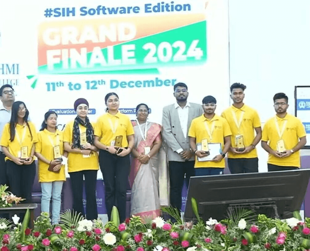
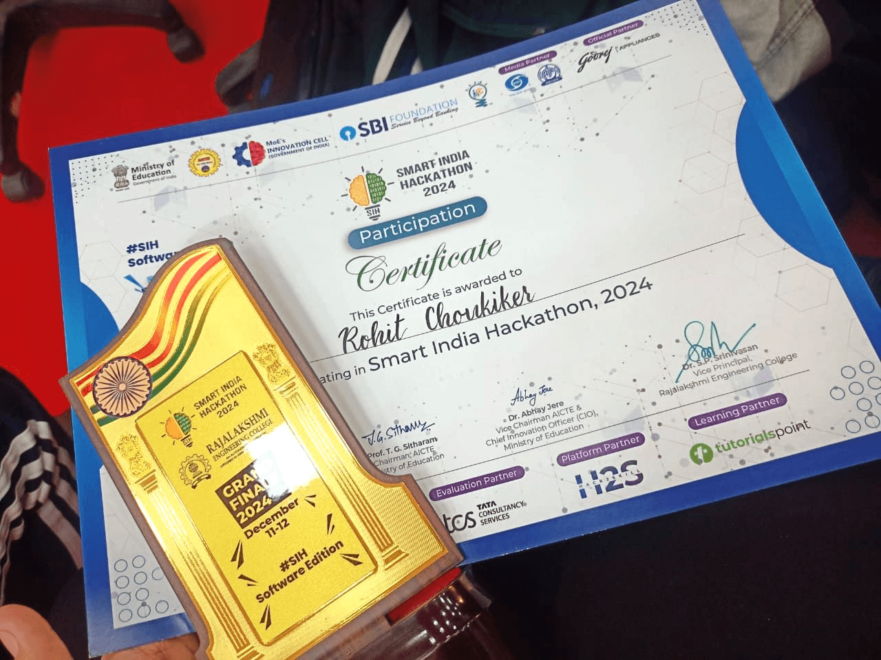
Awarded Winner at the Smart India Hackathon 2024 national finals. The prototype demonstrated 92% precision on held-out test imagery and was selected for pilot deployment with the partner municipal corporation. The system architecture was documented for potential scale-up across multiple cities.
What I Learned
Building ML systems that work outside the notebook requires as much engineering rigor as model design — data pipelines, inference optimization, monitoring, and graceful degradation when predictions are uncertain. Government stakeholders need explainable alerts, not probability scores. The hackathon constraint forced us to ship a complete vertical slice rather than optimizing individual components in isolation.
Indore Tech Hackathon 2025